Special Weather Statement issued for the Bay of Quinte | InQuinte.ca
×
Today's latest storiesKenhtè:ke Language and Cultural Centre Now OpenCyclist dies following crash on Saturday night in FoxboroUPDATE- Fire destroys home and former business on Hamilton Road in QWPlanned power outage set for Monday in QWBelleville man part of Global Sumud Flotilla heading homeSteady rain expected in Quinte from Saturday to Sunday morningFraser Park Drive closure to start next week in Quinte WestMonth-long military training being conducted across Quinte starting next TuesdayLocal spring/summer sports season in full swingTrenton man charged in child sexual exploitation caseRural roads to get refreshed in Quinte WestUPDATE: Marlbank man found safeBeyond the Headlines - school safetyMcDougall Insurance Group acquires Tailored Insurance of Richmond Hill300 charges laid during Road Safety Week Blitz in BellevilleOpen House on Saturday for Belleville's newest riverside apartment communityAthlete of the Week: Alyssa MorrisonDispose of your electronics to help the community this SaturdayOver $70,000 raised for local kids on ThursdayBayside Secondary hits the ground running with Relay for Life Friday

Special Weather Statement issued for the Bay of Quinte

By Hailey MacDonald Nov 29, 2025 | 9:29 PM

Two weather alerts have been issued for the Bay of Quinte region.

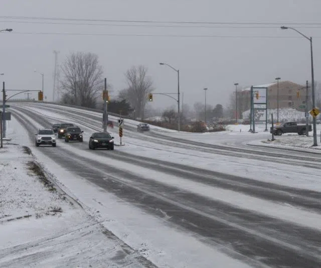
Heavy snow is expected with total snowfall amounts near 10 cm with 15 to 20 cm possible over the higher terrain north of Lake Ontario, which begins tonight and will taper off Sunday afternoon.

Most areas are expected to see near 10 cm. Travel will likely be challenging. Roads and walkways will likely be difficult to navigate due to accumulating snow. Visibility will likely be reduced at times.

Allow extra time for travel.

Additionally, strong winds are expected on Sunday.

Strong southwest winds with gusts of 70 to 80 km/h are possible, beginning Sunday morning and easing in the evening as winds become more northwesterly.

Local utility outages are possible.

On Sunday afternoon, snow is expected to mix with or transition over to rain in most areas. If the precipitation remains as snow, then accumulations may possibly exceed 10cm.